


2bdolomites

mpignon
User
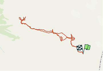

Length
5.8 km

Max alt
2593 m

Uphill gradient
669 m
Km-Effort
14.7 km

Min alt
2341 m

Downhill gradient
672 m
Boucle
Yes
Creation date :
2016-08-18 00:00:00.0
Updated on :
2019-05-15 16:18:52.694
--
Difficulty : Difficult

FREE GPS app for hiking
 SityTrail
IGN / Geographical institutes
SityTrail Plus
The world is yours!
About
Trail Via ferrata of 5.8 km to be discovered at Trentino-Alto Adige/Südtirol, Provincia di Trento, Tre Ville. This trail is proposed by mpignon.
Positioning
Country:
Italy
Region :
Trentino-Alto Adige/Südtirol
Department/Province :
Provincia di Trento
Municipality :
Tre Ville
Location:
Unknown
Start:(Dec)
Start:(UTM)
646038 ; 5115113 (32T) N.
Comments